
- CA BWGPL LHC-TownBWG-Muni-BWGCol-2016-10-25-17
- Stuk
- 1989-1992
Part of Local History Collection
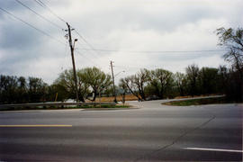
View of the farm land north of Bridge Street. This land is known as John Dissette's farm from the early 1900s
Zonder titel
362 results with digital objects Show results with digital objects
Part of Local History Collection
View of the farm land north of Bridge Street. This land is known as John Dissette's farm from the early 1900s
Zonder titel
Part of Local History Collection
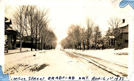
Photograph of Simcoe Street, taken on April 1, 1935. Notice the snow still on the street.
Zonder titel
Part of Local History Collection
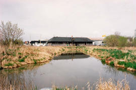
Bradford Go Station in the early 1990s
Zonder titel
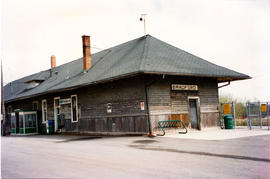
Bradford Go Station - entrance 2
Part of Local History Collection
Bradford Go Station in the early 1990s
Zonder titel
Part of Local History Collection
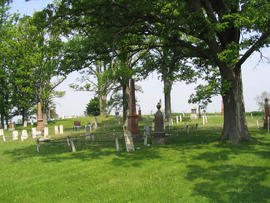
The Bannerman family are one of the many of the Scotch Settlement buried here (the Hunters, Magees, Faris' and Macbeths are others who have family plots within the cemetery).
Zonder titel
Part of Local History Collection
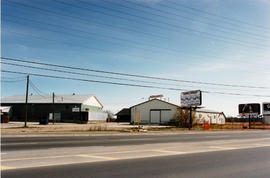
View of Bradford Shippers Ltd. from Holland St.
Zonder titel
Part of Local History Collection
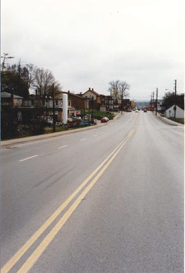
View of Bradford from Holland Street West, looking eastward towards the Church Street intersection.
Zonder titel

Part of Local History Collection
View of The Pines, a stately home built by Mark Scanlon in 1850 on the corner of Church and Queen Streets. Viewing from Queen Street
Zonder titel
Part of Local History Collection
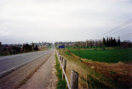
View of the Bradford Town sign on Yonge Street north of Line 8, looking south into Bradford.
Zonder titel
Part of Local History Collection
Entrance to Canal Road from bridge Street in the early 1990s.
Zonder titel