- CA BWGPL LHC-FamFil-Adair-PH9911
- Unidad documental simple
Parte deLocal History Collection
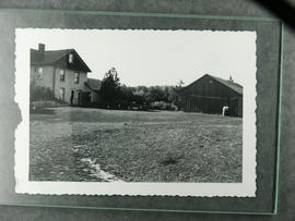
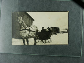
Adair house and driving shed. In later years beautiful gardens were developed where the chicken coop once stood. Cedar hedge in the background.
Sin título
496 resultados con objetos digitales Muestra los resultados con objetos digitales
Parte deLocal History Collection
Adair house and driving shed. In later years beautiful gardens were developed where the chicken coop once stood. Cedar hedge in the background.
Sin título
Parte deLocal History Collection
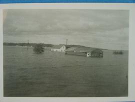
Store underwater in the aftermath of Hurricane Hazel
Sin título
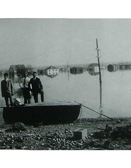
Men on a boat - Aftermath of Hurricane Hazel
Parte deLocal History Collection
G. Van der Kooi, F. Weening and Sjeord Van der Kooi stand with the flooded Marsh behind them.
Sin título
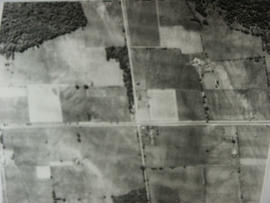
Aerial View - Road to Bradford
Parte deLocal History Collection
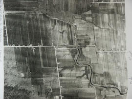
Aerial view of the direct road to Bradford, West is at the top of the page and North is on the right. Keele Street comes in form the left and Simcoe Road comes in from the right
Sin título
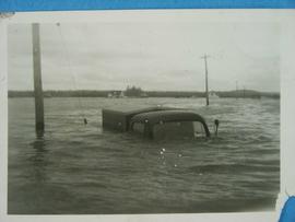
Truck underwater after Hurricane Hazel
Parte deLocal History Collection
Truck almost fully submerged underwater after the Marsh flooded from Hurricane Hazel.
Sin título
Parte deLocal History Collection
Aerial view of Coulson's Hill before 1960.
Sin título
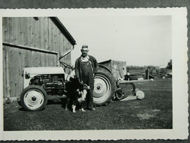
Parte deLocal History Collection
Ford tractor on Adair farm on Con. 8 with one furrow plow. Wesley Adair with dog Teddy in the early 1950's.
Sin título
Parte deLocal History Collection
Repairing the 7th Line just west of Bond Head.
Parte deLocal History Collection
Cecil Adair (brother of Wesley) and his wife Peggy with infant daughter Laura on the Adair Farm on Con. 8 in 1921.
Canal Road prior to Hurricane Hazel
Parte deLocal History Collection
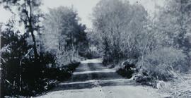
Dyke before Hurricane Hazel looking west from 416 Canal Rd.
Sin título