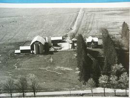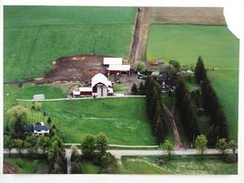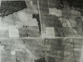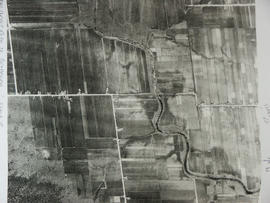
CA BWGPL LHC-FamFil-Lloyd-OS9453
·
Item
·
1950
Part of Local History Collection
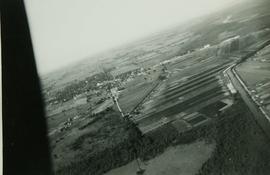
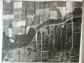
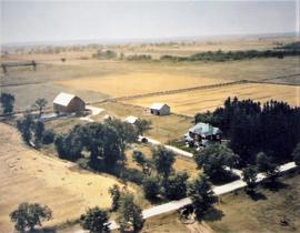
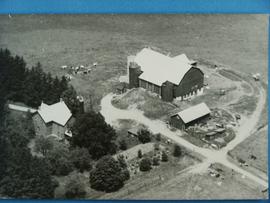
Aerial View.