Zona de identificação
Código de referência
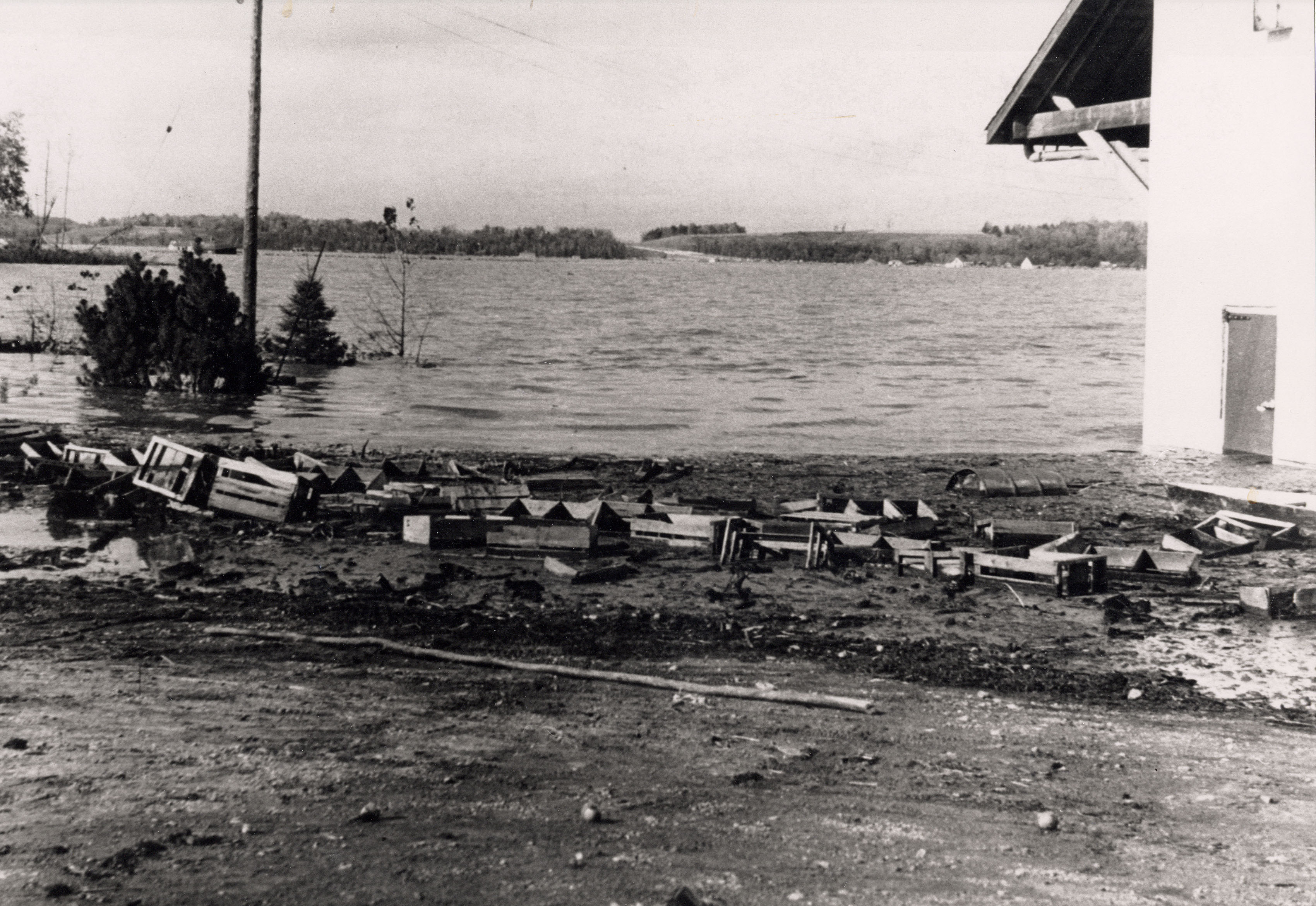
CA BWGPL LHC-Dis-Hazel-PH78
Título
Flood Level
Data(s)
Nível de descrição
Dimensão e suporte
Source : BWG Public Library Local History Collection
Media Type : Photograph
Physical Description : 20x13 inches, mounted on foamboard
Circa : 1954
Author Creator : R. Watson
Zona do contexto
Nome do produtor
Entidade detentora
História do arquivo
Fonte imediata de aquisição ou transferência
Zona do conteúdo e estrutura
Âmbito e conteúdo
Municipality : West Gwillimbury
Community : Holland Marsh
Lot :
Concession :
Description : Taken from Charlie Davis' yard. In background, Hwy. 400 rises up hill. Houses from Springdale floated (from the west) until they reached Hwy. 400. This was the height that the water reached after the rain when the dyke broke. A car plugged the culvert, restricting the flow of water.