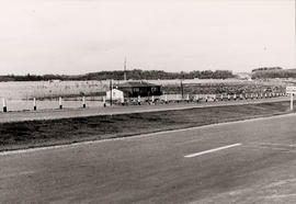
Municipality : West Gwillimbury Community : Holland Marsh Lot : 8 Concession : 2
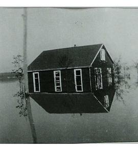
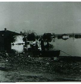
Description : This photo was taken soon after the the flood caused by Hurricane Hazel (Oct. 15, 1954) of Charlie Davis' house, with Hwy. 400 in the foreground, facing north. The white house in the background is the De Peuter home which floated, with the family aboard, to land near the highway.
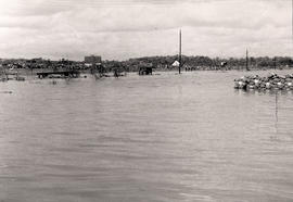
Municipality : West Gwillimbury Community : Holland Marsh Lot : 8 Concession : 3
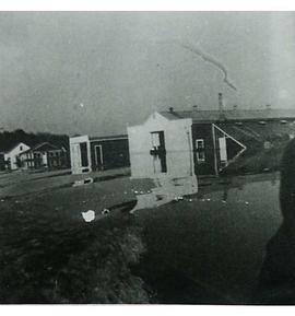
Description : This photo is taken from west of Hwy. 400 after Hurricane Hazel (Oct. 15, 1954). Debris is shown piled up along Hwy. 400, which is on the far side of the hydro poles. The top of a long pile of bagged onions can be seen in the foreground. Note: onions were not used as sandbags.
Municipality : West Gwillimbury Community : Holland Marsh Lot : 8 Concession : 3 Description : A flooded field facing north east from Hwy. 400 after Hurricane Hazel (Oct. 15, 1954). In the foreground is the service road that runs beside Hwy. 400 between Hwy. 9 and the Canal Road. Bags of harvested onions are stacked in the field.
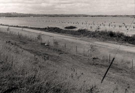
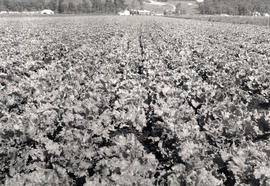
Photo is taken facing north prior to the flood of Hurricane Hazel (October 15, 1954) Lettuce in foreground is #9654 lettuce. Hand dug ditch is also illustrated.