- CA BWGPL LHC-Map
- Series
- 2018
Part of Local History Collection
Bradford West Gwillimbury Public Library
27 results directly related Exclude narrower terms
Part of Local History Collection
Bradford West Gwillimbury Public Library
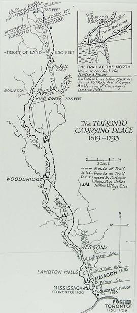
Map of the Toronto Carrying Place
Part of Local History Collection
Bradford West Gwillimbury Public Library
Part of Local History Collection
Part of Local History Collection
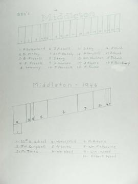
The top map shows Middleton as of the 1880's and the bottom map shows Middleton in 1946.
Part of Local History Collection
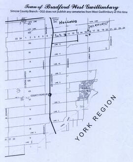
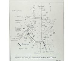
Map showing the Hollows and Deerhurst.
Bradford West Gwillimbury Public Library
Part of Local History Collection
Part of Local History Collection
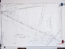
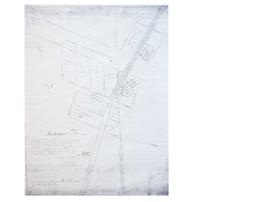
Joseph Street (by Registered Plan 122A)
Part of Local History Collection
Copy of part of a map of Joseph Street as part of Registered Plan 122A. Captured in the copy is a couple of handwritten notes, including the name "John Bateman."
Unknown
Part of Local History Collection
Index to the Map & Plan Collection held in the Bill & Erica Marks Archive Room.
Bradford West Gwillimbury Public Library Archives
Part of WEGWHIST Collection
Contains information on the various hamlets around Bradford. Headings include: Amsterdam Ansnorsveldt Bond Head BWG and Surrounding Area Cookstown Coulson's Hill Deerhurst Dunkerron Fennel's Corners Fisher's Corners Gilford 1 of 2 Gilford 2 of 2 Holland Landing The Hollows Innisfil Lefroy Mackie's Corners Middleton 1 of 2 Middleton 2 of 2 Mount Pleasant Newton Robinson Pinkerton Scotch Settlement Steele's Corners Springdale Tecumseth Township Thompsonville (Beeton area) Hamlets - Other
WEGWHIST Collection