Identity area
Reference code
CA BWGPL LHC-Map
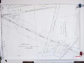
Title
Maps & Plans
Date(s)
- 2018 (Accumulation)
Level of description
Series
Extent and medium
Maps and Plans
Context area
Name of creator
Biographical history
Archival history
Immediate source of acquisition or transfer
Content and structure area
Scope and content
Appraisal, destruction and scheduling
Accruals
System of arrangement
Conditions of access and use area
Conditions governing access
Conditions governing reproduction
Language of material
English
Script of material
Language and script notes
Physical characteristics and technical requirements
Finding aids
Allied materials area
Existence and location of originals
Existence and location of copies
Related units of description
Notes area
Note
Resources outside of the Library's Collection:
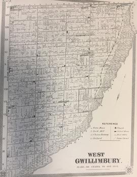
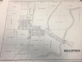
*The Canadian County Atlas Digital Project: Each of the published atlases include historical information, maps, diretories and the names of property owners and businesses. (The Library has the physical atlases for 1878 & 1881 as part of its collection). Found Online at http://digital.library.mcgill.ca/countyatlas/