Aerial photograph

Área de elementos

Taxonomia

Código

Nota(s) de âmbito

    Nota(s) da fonte

      Mostrar nota(s)

        Termos hierárquicos

        Aerial photograph

          Termos equivalentes

          Aerial photograph

            Termos associados

            Aerial photograph

            15 Descrição arquivística resultados para Aerial photograph

            15 resultados diretamente relacionados Excluir termos específicos
            Aerial View - Road to Bradford
            CA BWGPL LHC-Map-PH9745 · Item
            Parte de Local History Collection

            Aerial view of the direct road to Bradford, West is at the top of the page and North is on the right. Keele Street comes in form the left and Simcoe Road comes in from the right

            Sem título
            Parade of Produce
            CA BWGPL LHC-BraPh-OS8739 · Item · 1948-11-4
            Parte de Local History Collection

            Photo taken atop the Bradford Co-op of the truckloads of farmers bringing their produce to the market. The caption reads: "The above picture, taken from the roof of the Bradford Co-Operative Storage Ltd., shows only a section of the trucks, large and small, which formed the huge cavalcade of Holland Marsh growers and their vehicles, just before they moved off on their trek to Toronto City Hall to present to Mayor McCallum several truck-loads of vegetables for Toronto orphanages and the Hospital for Sick Children. Approximately 125 trucks made up a procession, about a mile and a quarter in length, which went right through with motorcycle police from Bradford to the City Hall without a stop."

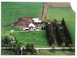
            More information in the Related Description links.

            Sem título