Identity area
Reference code
Title
Date(s)
- c. 1925 (Creation)
Level of description
Extent and medium
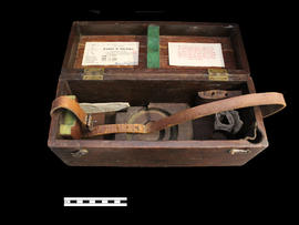
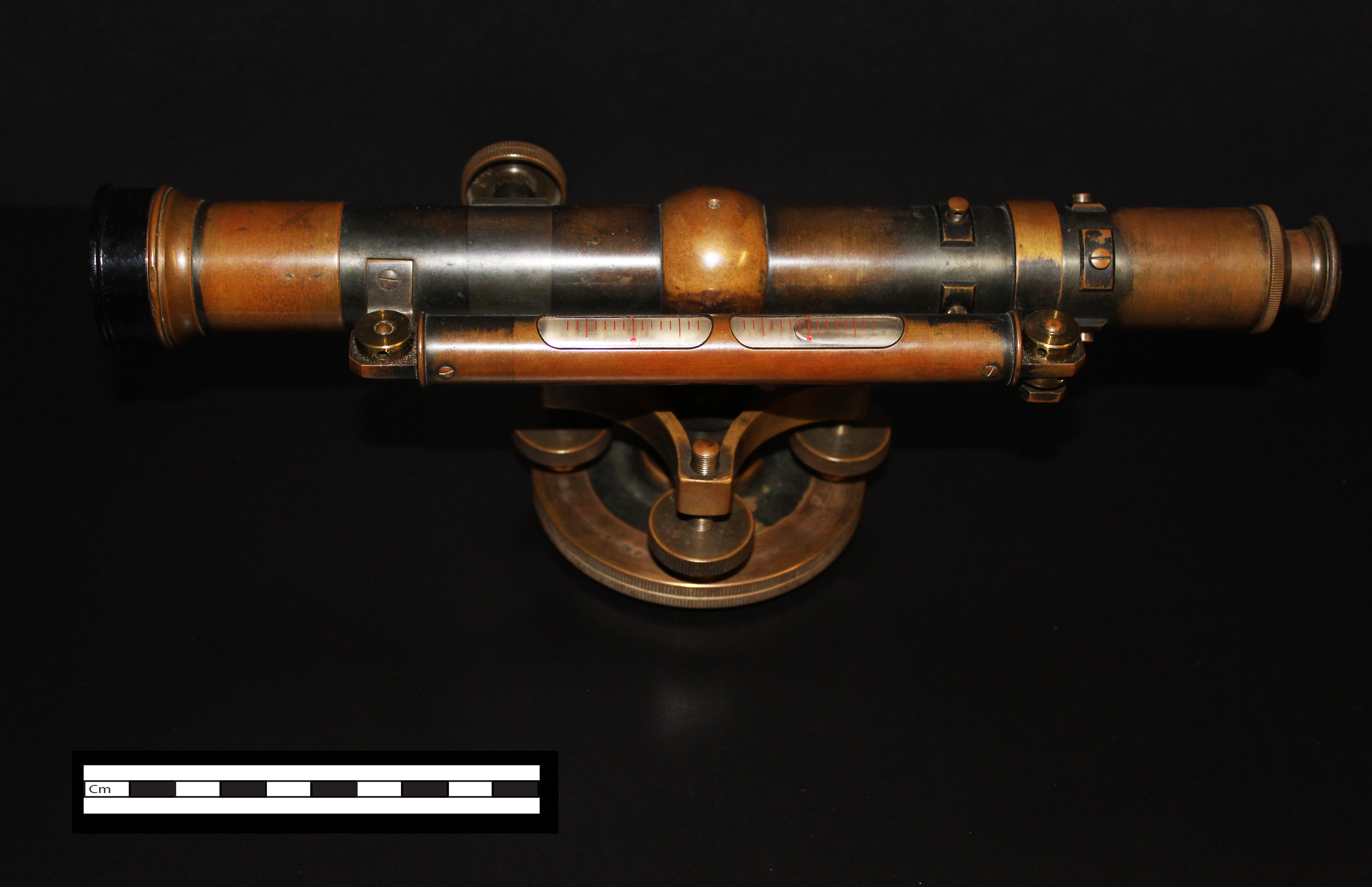
Surveying level
Context area
Name of creator
Biographical history
Name of creator
Biographical history
Name of creator
Biographical history
Archival history
Traded by Professor William (W. H.) Day to Len Saint in the 1930s for a truck
Immediate source of acquisition or transfer
Donated to the Library archives' collection by Len Saint's son, Joe Saint
Content and structure area
Scope and content
A Keuffel & Esser level that was used for activities such as surveying. It was originally owned by Professor William H. Day, who was integral to the Holland Marsh Drainage Scheme's beginnings. The survey of the marsh determined the elevation of the muck soil and the bordering "highland" soils, providing the information the planners would need to determine the grades, estimate the materials to be moved and to determine the alignment of the canal.
The drainage scheme report came out in 1924 and work began in the mid-1920s. The work involved intercepting part of the Holland River and the diversion of water around the perimeter of the area using drainage canals. Canal excavation materials were used to create dykes on the to-be reclaimed (marshland) side of the canals. The re-claimed land was used for farming and roads were constructed on top of the dykes to allow for transportation.
Appraisal, destruction and scheduling
Accruals
System of arrangement
Conditions of access and use area
Conditions governing access
Conditions governing reproduction
Language of material
Script of material
Language and script notes
Physical characteristics and technical requirements
Finding aids
Allied materials area
Existence and location of originals
Existence and location of copies
Related units of description
Notes area
Note
Click on image to enlarge
Alternative identifier(s)
Access points
Subject access points
Place access points
Name access points
- Professor William H. Day (Subject)
- Joe Saint (Subject)
- Len Saint (Subject)
Genre access points
Description control area
Description identifier
Institution identifier
Rules and/or conventions used
Status
Level of detail
Dates of creation revision deletion
Language(s)
Script(s)
Sources
K.Smart Associates Consulting Engineers and Planners
Holland Marsh Drainage System Canal Improvement Study
http://www.ksmart.ca/usercontent/documents/Holland%20Marsh.pdf